The most expensive mistake we see in Nanaimo is guessing the pile length. You drive steel H-piles, hit refusal on what looks like competent till, and call it a day. Six months later the structure settles differentially because that 'refusal' was a boulder within a softer matrix. We have pulled enough split-spoon samples across the Departure Bay formation to know the difference. For projects near the Nanaimo River floodplain or upslope in Hammond Bay, we combine deep borings with CPT testing to map the true bedrock profile. Pairing that data with triaxial testing under simulated overburden gives us a friction angle you can actually rely on, not a textbook number that ignores local geology. This approach avoids overdesign on steel tonnage and prevents the nightmare of post-construction underpinning.
In Nanaimo, pile refusal on a boulder looks identical to refusal on bedrock. Only continuous sampling tells you which one you hit.
Technical details of the service in Nanaimo
Risks and considerations in Nanaimo
Nanaimo's growth pattern has pushed development onto slopes that were avoided fifty years ago. The city expanded north into the Hammond Bay area and south toward Chase River, where the terrain rises steeply from the Strait of Georgia. Pile foundations in these zones carry combined axial and lateral demands that a simple spreadsheet cannot capture. We have seen liquefiable lenses within the colluvium that get overlooked by desktop studies. The sandstone bedrock also weathers rapidly when exposed to air, losing strength within days of excavation. If the pile tip sits on a weathered zone rather than fresh rock, the settlement can exceed serviceability limits within the first wet season. A CPT test paired with sampling reveals the thickness of that weathered mantle before you commit to a tip elevation.
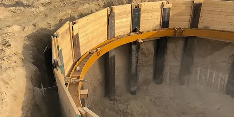
Our services
Our pile design work in Nanaimo covers the full chain from field investigation to construction support. Each phase builds on the last. Here is how we structure the engagement.
Site Investigation & Parameter Selection
Deep borings with SPT and rock coring across the site. We log the transition from till to bedrock, test rock cores for UCS, and select design parameters for shaft friction and end-bearing per CFEM recommendations.
Axial & Lateral Capacity Analysis
We compute ultimate and service limit state capacities using FHWA driven pile methods for steel H-piles or O'Neill & Reese for drilled shafts. Lateral response is modeled with LPILE using strain-matched p-y curves for the local silt.
Pile Load Test Specification
We design the static load test program, specify the reaction frame, and interpret the load-settlement curve to confirm the design assumptions. Dynamic testing with PDA is also specified when driving records need calibration.
Quick answers
How deep do piles typically need to go in Nanaimo?
It depends entirely on the site. In the city center around Terminal Avenue, competent Cretaceous sandstone can appear at 8 to 12 meters. Up in the Hammond Bay slopes, we have seen weathered rock extending past 20 meters before reaching material with an RQD above 70%. A single borehole cannot answer that question reliably. We recommend a minimum of three deep borings for any structure over two storeys, with continuous sampling through the transition zone.
What does pile foundation design cost for a residential project in Nanaimo?
For a single-family home or duplex requiring a pile investigation and design package, the fee ranges from CA$2,460 to CA$9,370. The spread depends on the number of borings needed, access challenges on steep lots, and whether rock coring is required. A small commercial building with lateral load demands will be at the upper end of that range.
Can we avoid piles and use a shallow footing instead?
In some parts of Nanaimo, yes. Flatter terrain near Departure Bay with dense glacial till at shallow depth can support a well-designed spread footing. But the moment you cross the 1:3 slope line or encounter the estuarine silts of the Nanaimo River lowlands, piles become the only reliable option. We answer that question with a preliminary site walk and a review of the surficial geology map before any drill rig arrives.